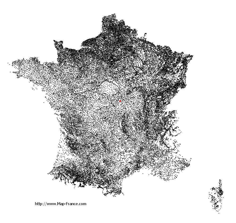
La Chapelle-Hugon on the relief France map in Lambert 93 coordinates
|

See the map of La Chapelle-Hugon in full screen (1000 x 949)
|
At left, here is the location of La Chapelle-Hugon on the relief France map in Lambert 93 coordinates.
Here are the altitudes of La Chapelle-Hugon :
- Town hall altitude of La Chapelle-Hugon is 200 meters
- Minimum altitude of La Chapelle-Hugon is 180 meters
- Maximum altitude of La Chapelle-Hugon is 225 meters
- Medium altitude of La Chapelle-Hugon is 203 meters
Here are the altitudes of Bourges, prefecture of Cher department:
- Town hall altitude of Bourges is 130 meters
- Minimum altitude of Bourges is 120 meters
- Maximum altitude of Bourges is 169 meters
- Medium altitude of Bourges is 145 meters
Here are the altitudes of the french biggest cities:
Paris : 33 meters
Marseille : 20 meters
Lyon : 237 meters
Toulouse : 146 meters
Nice : 10 meters
Nantes : 20 meters
Strasbourg : 144 meters
Montpellier : 35 meters
Bordeaux : 16 meters
Lille : 20 meters
Rennes : 35 meters
Reims : 83 meters
Click here for the terrain map of La Chapelle-Hugon in full screen:
Relief map of La Chapelle-Hugon
|
This relief map of La Chapelle-Hugon is reusable and modifiable by making a link to this page of the Map-France.com website or by using the given code :
|
Terrain base map of La Chapelle-Hugon
|

See the terrain base map of La Chapelle-Hugon in full screen (1000 x 949)
|
Small relief base map of La Chapelle-Hugon

|
This base map of La Chapelle-Hugon is reusable and modifiable by making a link to this page of the Map-France.com website or by using the given code :
|
Map of La Chapelle-Hugon with regions and prefectures
|
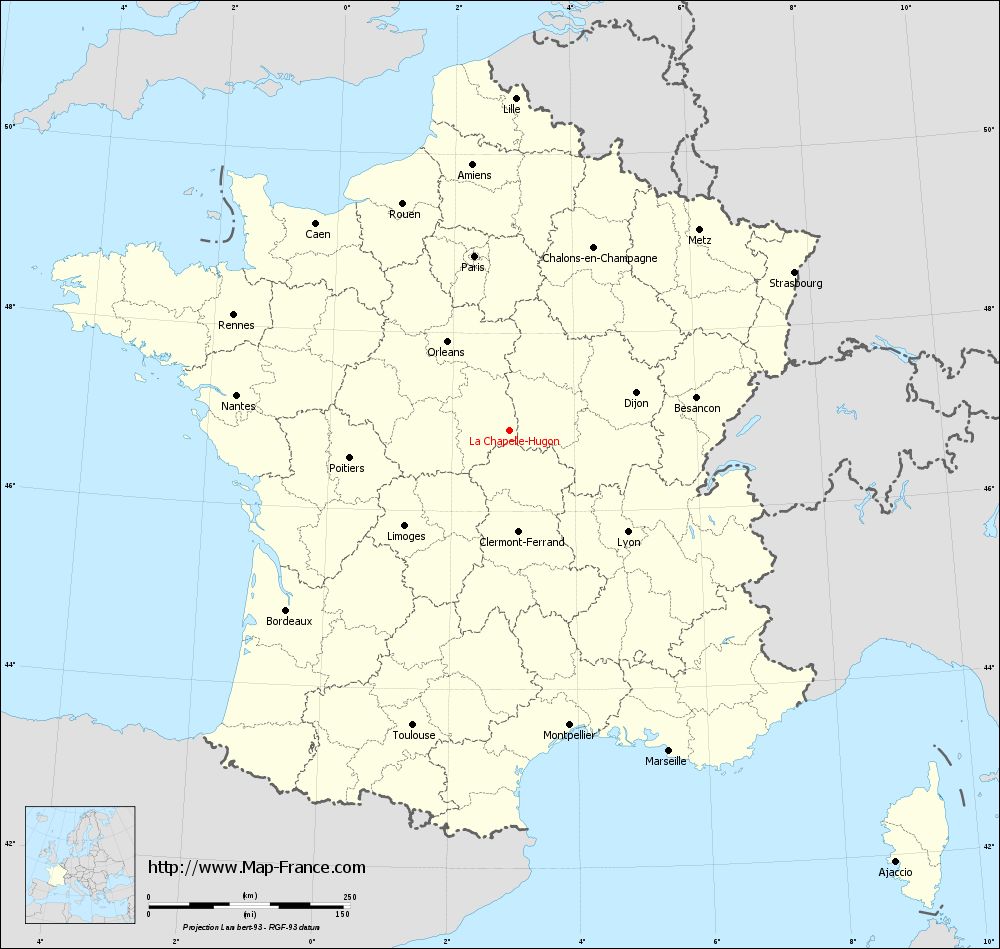
View the map of La Chapelle-Hugon in full screen (1000 x 949)
|
You will find the location of La Chapelle-Hugon on the map of France of regions in Lambert 93 coordinates. The town of La Chapelle-Hugon is located in the department of Cher of the french region Centre.
Geographical sexagesimal coordinates / GPS (WGS84):
Latitude: 46° 54' 25'' North
Longitude: 02° 56' 54'' East
Geographical decimal coordinates :
Latitude: 46.904 degrees (46.904° North)
Longitude: 2.945 degrees (2.945° East)
Lambert 93 coordinates :
X: 6 961 hectometers
Y: 66 452 hectometers
Lambert 2 coordinates :
X: 6 466 hectometers
Y: 22 121 hectometers
Below, the geographical coordinates of Bourges, prefecture of the Cher department:
Geographical sexagesimal coordinates / GPS (WGS84):
Latitude: 47° 05' 01'' North
Longitude: 02° 23' 44'' East
Geographical decimal coordinates :
Latitude: 47.08 degrees (47.08° North)
Longitude: 2.397 degrees (2.397° East)
Lambert 93 coordinates :
X: 6 541 hectometers
Y: 66 650 hectometers
Lambert 2 coordinates :
X: 6 045 hectometers
Y: 22 315 hectometers
|
This map of La Chapelle-Hugon is reusable and modifiable by making a link to this page of the Map-France.com website or by using the given code :
|
Map of La Chapelle-Hugon with departments and prefectures
|
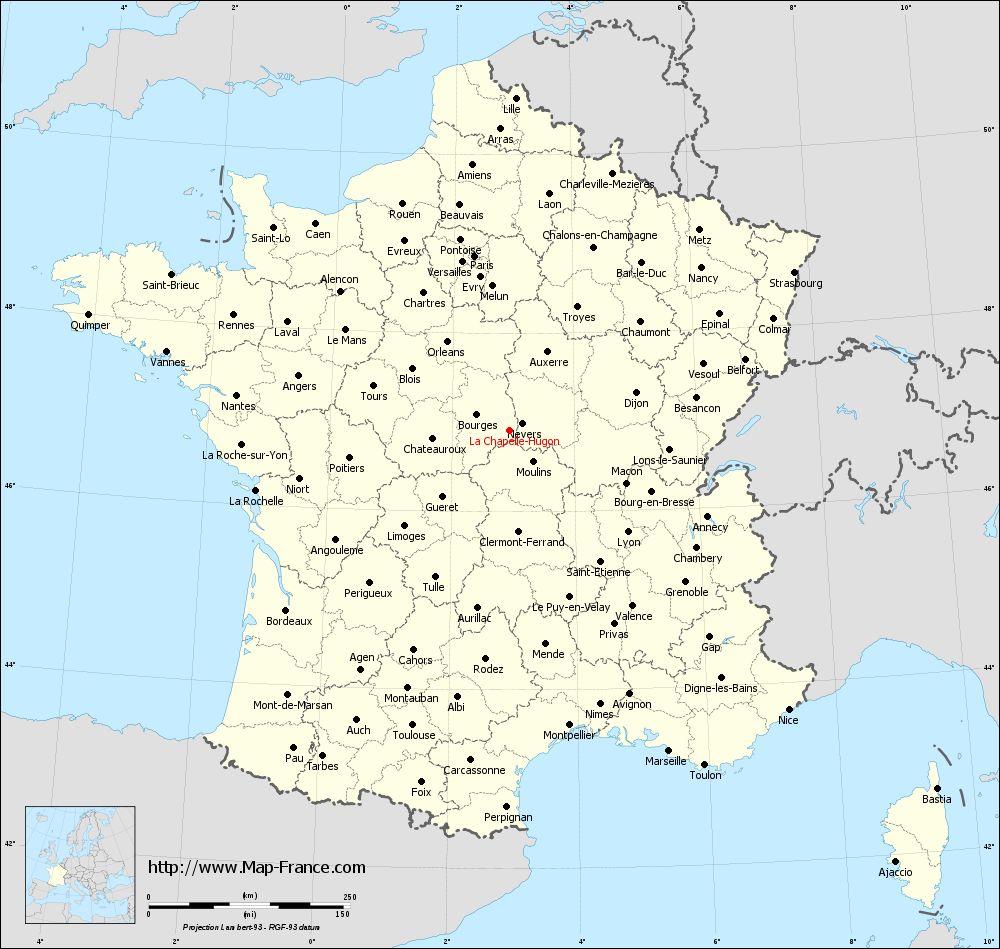
Voir la carte of La Chapelle-Hugon en grand format (1000 x 949)
|
Here is the localization of La Chapelle-Hugon on the France map of departments in Lambert 93 coordinates. The city of La Chapelle-Hugon is shown on the map by a red point.
The town of La Chapelle-Hugon is located in the department of Cher of the french region Centre.
The latitude of La Chapelle-Hugon is 46.904 degrees North.
The longitude of La Chapelle-Hugon is 2.945 degrees East.
Here the distance between La Chapelle-Hugon and the biggest cities of France:
Distances are calculated as the crow flies (orthodromic distance)
Distance between La Chapelle-Hugon and Paris : 221.93 kilometers
Distance between La Chapelle-Hugon and Marseille : 444.49 kilometers
Distance between La Chapelle-Hugon and Lyon : 192.81 kilometers
Distance between La Chapelle-Hugon and Toulouse : 385.27 kilometers
Distance between La Chapelle-Hugon and Nice : 489.81 kilometers
Distance between La Chapelle-Hugon and Nantes : 342.27 kilometers
Distance between La Chapelle-Hugon and Strasbourg : 404.9 kilometers
Distance between La Chapelle-Hugon and Montpellier : 373.26 kilometers
Distance between La Chapelle-Hugon and Bordeaux : 355.74 kilometers
Distance between La Chapelle-Hugon and Lille : 413.81 kilometers
Distance between La Chapelle-Hugon and Rennes : 371.96 kilometers
Distance between La Chapelle-Hugon and Reims : 273.67 kilometers
Clic here to see the map of La Chapelle-Hugon in full screen:
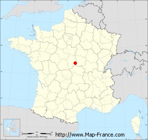
La Chapelle-Hugon on the map of french departments
|
This administrative map of La Chapelle-Hugon is reusable and modifiable by making a link to this page of the Map-France.com website or by using the given code :
|
Administrative base maps of La Chapelle-Hugon
|

See the administrative base map of La Chapelle-Hugon in full screen (1000 x 949)
|
Small administrative base map of La Chapelle-Hugon
|
This base map administrative of La Chapelle-Hugon is reusable and modifiable by making a link to this page of the Map-France.com website or by using the given code :
|
 French Version : http://www.cartesfrance.fr